Cartographic Services
In addition to the spatial and tabular data available for free download, MSDIS offers cartographic services for Missouri school districts on a limited basis.
A standard MSDIS School District map is designed at 48"x36" (or 36"x48" depending on the primary orientation of the district) and includes major and local roads with lables. Cities and towns within a school district are represented in insets when appropriate.
The standard cost of a MSDIS School District map is $200, which includes construction of the map and delivery of a PDF file. MSDIS does not provide paper copies of the maps it produces, but the provided file can be used by most major priniting shops.
Example of a standard MSDIS school district map 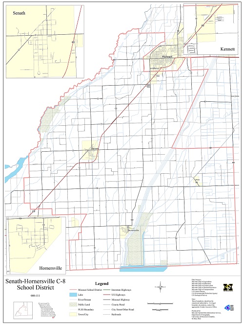 |
For more information please contact us at:
(573) 882-3233
msdismail@missouri.edu